Distance between Bhubaneswar and Amri
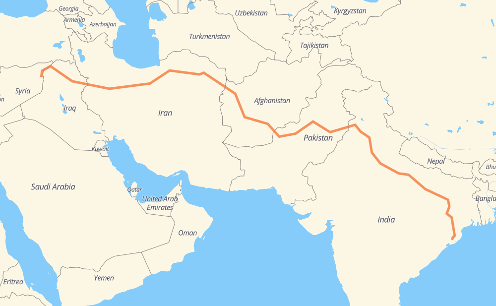
The distance from Bhubaneswar to Amri is 3,920 miles by road including 388 miles on motorways. Road takes approximately 74 hours and 9 minutes and goes through Cuttack, Ranchi, Varanasi, Aligarh, Bulandshahr, Panipat and Karnal.
| Shortest distance by air | 2,905 mi ✈️ |
| Car route length | 3,919.6 mi 🚗 |
| Driving time | 74 h 9 min |
| Fuel amount | 133.3 gal |
| Fuel cost | 524 USD |
| Point | Distance | Time | Fuel | |
| Bhubaneswar | 0 mi | 00 min | 0.0 gal | |
|
NH16 15 mi, 17 min
|
||||
| Cuttack | 15 mi | 17 min | 0.4 gal | |
|
NH16 NH20 266 mi, 5 h 09 min
|
||||
| Ranchi | 281 mi | 5 h 26 min | 9.5 gal | |
|
NH19 255 mi, 4 h 52 min
|
||||
| Varanasi | 536 mi | 10 h 18 min | 18.1 gal | |
|
NH34 385 mi, 7 h 15 min
|
||||
| Aligarh | 921 mi | 17 h 34 min | 31.2 gal | |
|
NH34 41 mi, 47 min
|
||||
| Bulandshahr | 962 mi | 18 h 22 min | 32.5 gal | |
|
NH34 NH44 99 mi, 1 h 47 min
|
||||
| Panipat | 1,060 mi | 20 h 10 min | 36.0 gal | |
|
NH44 21 mi, 24 min
|
||||
| Karnal | 1,081 mi | 20 h 34 min | 36.7 gal | |
|
NH44 53 mi, 1 h 01 min
|
||||
| Ambala | 1,134 mi | 21 h 35 min | 38.5 gal | |
|
NH44 65 mi, 1 h 15 min
|
||||
| Ludhiana | 1,200 mi | 22 h 51 min | 40.8 gal | |
|
NH44 41 mi, 46 min
|
||||
| Jalandhar | 1,241 mi | 23 h 37 min | 42.1 gal | |
|
NH3 48 mi, 55 min
|
||||
| Amritsar | 1,289 mi | 24 h 32 min | 43.7 gal | |
|
M-3 213 mi, 3 h 42 min
|
||||
| Atharan Hazari | 1,502 mi | 28 h 15 min | 50.3 gal | |
|
50 mi, 1 h 00 min
|
||||
| Bhakkar | 1,552 mi | 29 h 15 min | 52.7 gal | |
|
N-50 151 mi, 2 h 49 min
|
||||
| Zhob | 1,703 mi | 32 h 05 min | 57.5 gal | |
|
N-50 239 mi, 4 h 34 min
|
||||
| Chaman | 1,942 mi | 36 h 40 min | 65.8 gal | |
|
N-25 NH37 73 mi, 1 h 20 min
|
||||
| Kandahar | 2,016 mi | 38 h 01 min | 68.4 gal | |
|
NH0101 NH0102 350 mi, 6 h 17 min
|
||||
| Herat | 2,366 mi | 44 h 19 min | 80.3 gal | |
|
NH0102 97 270 mi, 5 h 07 min
|
||||
| Neyshabur | 2,636 mi | 49 h 26 min | 89.6 gal | |
|
44 70 mi, 1 h 16 min
|
||||
| Sabzevar | 2,706 mi | 50 h 42 min | 91.9 gal | |
|
44 402 mi, 7 h 22 min
|
||||
| Tehran | 3,108 mi | 58 h 05 min | 105.4 gal | |
|
48 46 452 mi, 8 h 05 min
|
||||
| Suleimaniyah | 3,560 mi | 66 h 11 min | 121.0 gal | |
|
4 8 mi, 10 min
|
||||
| Mujama Tasluwjah | 3,568 mi | 66 h 21 min | 121.2 gal | |
|
4 13 mi, 15 min
|
||||
| Bazyan | 3,582 mi | 66 h 36 min | 121.5 gal | |
|
4 2 343 mi, 7 h 32 min
|
||||
| Maish | 3,925 mi | 74 h 09 min | 133.1 gal | |
Frequently Asked Questions
How much does it cost to drive from Bhubaneswar to Amri?
Fuel cost: 524 USD
This fuel cost is calculated as: (Route length 3,919.6 mi) / (Fuel consumption 29.4 mpg) * (Fuel price 3.93 USD / gal)
You can adjust fuel consumption and fuel price here.
How long is a car ride from Bhubaneswar to Amri?
Driving time: 74 h 9 min
This time is calculated for driving at the maximum permitted speed, taking into account traffic rules restrictions.
- 316 mi with a maximum speed 68 mph = 4 h 39 min
- 56 mi with a maximum speed 62 mph = 53 min
- 1,460 mi with a maximum speed 56 mph = 26 h 3 min
- 296 mi with a maximum speed 56 mph = 5 h 17 min
- 1,688 mi with a maximum speed 50 mph = 33 h 57 min
- 6 mi with a maximum speed 43 mph = 7 min
- 43 mi with a maximum speed 37 mph = 1 h 8 min
- 57 mi with a maximum speed 31 mph = 1 h 50 min
- 2 mi with a maximum speed 25 mph = 4 min
- 1 mi with a maximum speed 19 mph = 1 min
- 1 mi with a maximum speed 12 mph = 5 min
The calculated driving time does not take into account intermediate stops and traffic jams.
How far is Bhubaneswar to Amri by land?
The distance between Bhubaneswar and Amri is 3,919.6 mi by road including 388.4 mi on motorways.
Precise satellite coordinates of highways were used for this calculation. The start and finish points are the centers of Bhubaneswar and Amri respectively.
How far is Bhubaneswar to Amri by plane?
The shortest distance (air line, as the crow flies) between Bhubaneswar and Amri is 2,904.9 mi.
This distance is calculated using the Haversine formula as a great-circle distance between two points on the surface of a sphere. The start and finish points are the centers of Bhubaneswar and Amri respectively. Actual distance between airports may be different.
How many hours is Bhubaneswar from Amri by plane?
Boeing 737 airliner needs 5 h 50 min to cover the distance of 2,905 mi at a cruising speed of 497 mph.
Small plane "Cessna 172" needs 21 h 15 min to flight this distance at average speed of 136 mph.
This time is approximate and do not take into account takeoff and landing times, airport location and other real world factors.
How long is a helicopter ride from Bhubaneswar to Amri?
Fast helicopter "Eurocopter AS350" or "Hughes OH-6 Cayuse" need 19 h 28 min to cover the distance of 2,905 mi at a cruising speed of 149 mph.
Popular "Robinson R44" needs 22 h 15 min to flight this distance at average speed of 130 mph.
This time is approximate and do not take into account takeoff and landing times, aerodrome location and other real world factors.
What city is halfway between Bhubaneswar and Amri?
The halfway point between Bhubaneswar and Amri is Spin Boldak. It is located about 9 mi from the exact midpoint by road.
The distance from Spin Boldak to Bhubaneswar is 1,950 mi and driving will take about 36 h 48 min. The road between Spin Boldak and Amri has length 1,969 mi and will take approximately 37 h 21 min.
The other cities located close to halfway point:
Where is Bhubaneswar in relation to Amri?
Bhubaneswar is located 2,905 mi south-east of Amri.
Bhubaneswar has geographic coordinates: latitude 20.26033, longitude 85.83934.
Amri has geographic coordinates: latitude 35.83889, longitude 41.07777.
Which highway goes from Bhubaneswar to Amri?
The route from Bhubaneswar to Amri follows 44, N-50, NH0102, NH20, NH44, NH34, 46, NH19, NH731, M-3, 97, 6, 2, NH0101, NH63, 4, 1, NH37.
Other minor sections pass along the road:
- NH3: 58 mi
- 5: 58 mi
- N-25: 55 mi
- NH720: 54 mi
- NH16: 37 mi
- 48: 35 mi
- NE2: 31 mi
- NH31: 31 mi
- 117: 24 mi
- NH53: 24 mi
- 37: 16 mi
- 334C: 16 mi
- N-5: 14 mi
- NE-2: 14 mi
- 35: 13 mi
- 931: 12 mi
- 180: 12 mi
- 15: 11 mi
- 36: 11 mi
- NH27: 9 mi
- 21: 7 mi
- NH230: 6 mi
- NH 75 E: 5 mi
- 30: 4 mi
- NH33: 4 mi
- 55: 3 mi
- 87: 3 mi
- N-55: 3 mi
- NH65: 3 mi
- 54: 2 mi
- M-2: 2 mi
- 731: 2 mi
- NH128: 2 mi
- SH40: 2 mi
- SH69: 2 mi
- M4: 1 mi
- 139: 1 mi
- 120M: 1 mi
- E-4: 1 mi
- 330: 1 mi
- NH152: 1 mi
- 720: 1 mi