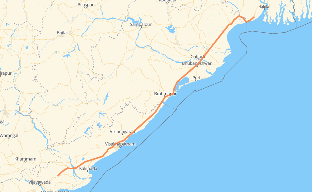
The distance from Gundugolanu to Kontai is 629 miles by road. Road takes approximately 12 hours and 40 minutes and goes through Bhubaneswar, Cuttack, Bhimadolu, Gandepalle, Burugupudi, Yerravaram and Dharmavaram.
You can adjust fuel consumption and fuel price here.
How long is a car ride from Gundugolanu to Kontai?
Driving time:
12 h 40 min
This time is calculated for driving at the maximum permitted speed, taking into account traffic rules restrictions.
122 mi with a maximum speed 56 mph = 2 h 11 min
499 mi with a maximum speed 50 mph = 10 h 2 min
14 mi with a maximum speed 31 mph = 27 min
The calculated driving time does not take into account intermediate stops and traffic jams.
How far is Gundugolanu to Kontai by land?
The distance between Gundugolanu and Kontai is 628.8 mi by road.
Precise satellite coordinates of highways were used for this calculation. The start and finish points are the centers of Gundugolanu and Kontai respectively.
How far is Gundugolanu to Kontai by plane?
The shortest distance (air line, as the crow flies) between Gundugolanu and Kontai is 547.4 mi.
This distance is calculated using the Haversine formula as a great-circle distance between two points on the surface of a sphere. The start and finish points are the centers of Gundugolanu and Kontai respectively. Actual distance between airports may be different.
How many hours is Gundugolanu from Kontai by plane?
Boeing 737 airliner needs 1 h 6 min to cover the distance of 547 mi at a cruising speed of 497 mph.
Small plane "Cessna 172" needs 4 h to flight this distance at average speed of 136 mph.
This time is approximate and do not take into account takeoff and landing times, airport location and other real world factors.
How long is a helicopter ride from Gundugolanu to Kontai?
Fast helicopter "Eurocopter AS350" or "Hughes OH-6 Cayuse" need 3 h 40 min to cover the distance of 547 mi at a cruising speed of 149 mph.
Popular "Robinson R44" needs 4 h 11 min to flight this distance at average speed of 130 mph.
This time is approximate and do not take into account takeoff and landing times, aerodrome location and other real world factors.
What city is halfway between Gundugolanu and Kontai?
The halfway point between Gundugolanu and Kontai is Golantara. It is located about 1 mi from the exact midpoint by road.
The distance from Golantara to Gundugolanu is 315 mi and driving will take about 6 h 10 min. The road between Golantara and Kontai has length 314 mi and will take approximately 6 h 30 min.
The other cities located close to halfway point:
Ichchapuram is in 308 mi from Gundugolanu and 321 mi from Kontai
Khajuria is in 324 mi from Gundugolanu and 304 mi from Kontai
Ambapua is in 327 mi from Gundugolanu and 301 mi from Kontai
Where is Gundugolanu in relation to Kontai?
Gundugolanu is located 547 mi south-west of Kontai.
Gundugolanu has geographic coordinates: latitude 16.78274, longitude 81.22788.
Kontai has geographic coordinates: latitude 21.78059, longitude 87.74483.
Which highway goes from Gundugolanu to Kontai?
The route from Gundugolanu to Kontai follows NH16.