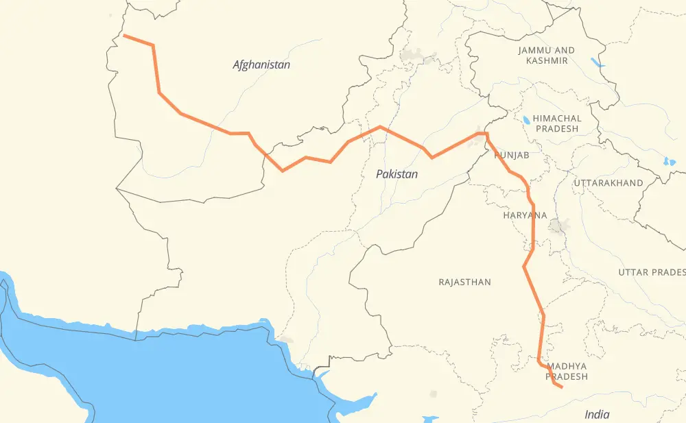
The distance from Islam Qala to Bhopal is 1,885 miles by road including 120 miles on motorways. Road takes approximately 35 hours and 16 minutes and goes through Herat, Kandahar, Chaman, Zhob, Bhakkar, Atharan Hazari and Kamalia.
You can adjust fuel consumption and fuel price here.
How long is a car ride from Islam Qala to Bhopal?
Driving time:
35 h 16 min
This time is calculated for driving at the maximum permitted speed, taking into account traffic rules restrictions.
114 mi with a maximum speed 68 mph = 1 h 40 min
701 mi with a maximum speed 56 mph = 12 h 31 min
270 mi with a maximum speed 56 mph = 4 h 50 min
782 mi with a maximum speed 50 mph = 15 h 43 min
4 mi with a maximum speed 43 mph = 4 min
6 mi with a maximum speed 37 mph = 9 min
9 mi with a maximum speed 31 mph = 16 min
The calculated driving time does not take into account intermediate stops and traffic jams.
How far is Islam Qala to Bhopal by land?
The distance between Islam Qala and Bhopal is 1,885.2 mi by road including 119.9 mi on motorways.
Precise satellite coordinates of highways were used for this calculation. The start and finish points are the centers of Islam Qala and Bhopal respectively.
How far is Islam Qala to Bhopal by plane?
The shortest distance (air line, as the crow flies) between Islam Qala and Bhopal is 1,258.3 mi.
This distance is calculated using the Haversine formula as a great-circle distance between two points on the surface of a sphere. The start and finish points are the centers of Islam Qala and Bhopal respectively. Actual distance between airports may be different.
How many hours is Islam Qala from Bhopal by plane?
Boeing 737 airliner needs 2 h 31 min to cover the distance of 1,258 mi at a cruising speed of 497 mph.
Small plane "Cessna 172" needs 9 h 12 min to flight this distance at average speed of 136 mph.
This time is approximate and do not take into account takeoff and landing times, airport location and other real world factors.
How long is a helicopter ride from Islam Qala to Bhopal?
Fast helicopter "Eurocopter AS350" or "Hughes OH-6 Cayuse" need 8 h 26 min to cover the distance of 1,258 mi at a cruising speed of 149 mph.
Popular "Robinson R44" needs 9 h 38 min to flight this distance at average speed of 130 mph.
This time is approximate and do not take into account takeoff and landing times, aerodrome location and other real world factors.
What city is halfway between Islam Qala and Bhopal?
The halfway point between Islam Qala and Bhopal is Atharan Hazari. It is located about 7 mi from the exact midpoint by road.
The distance from Atharan Hazari to Islam Qala is 936 mi and driving will take about 17 h 20 min. The road between Atharan Hazari and Bhopal has length 949 mi and will take approximately 17 h 55 min.
The other cities located close to halfway point:
Toba Tek Singh is in 978 mi from Islam Qala and 907 mi from Bhopal
Sarai Mahajir is in 902 mi from Islam Qala and 984 mi from Bhopal
Jahan Khan Ada is in 891 mi from Islam Qala and 995 mi from Bhopal
Where is Islam Qala in relation to Bhopal?
Islam Qala is located 1,258 mi north-west of Bhopal.
Islam Qala has geographic coordinates: latitude 34.66028, longitude 61.11013.
Bhopal has geographic coordinates: latitude 23.25309, longitude 77.39627.
Which highway goes from Islam Qala to Bhopal?
The route from Islam Qala to Bhopal follows N-50, NH0102, M-3, NH52, NH0101, NH63, NH148B, NH37, NH46.