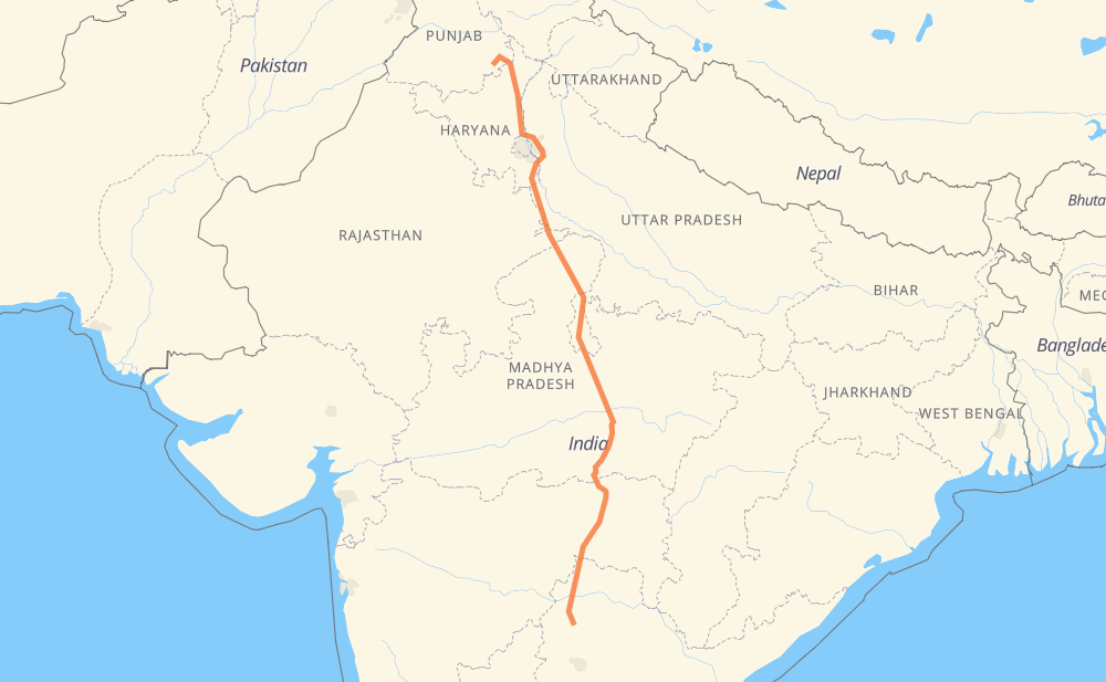
The distance from Patiala to Kamareddi is 1,046 miles by road including 93 miles on motorways. Road takes approximately 19 hours and 58 minutes and goes through Ambala, Karnal, Panipat, Mathura, Gwalior, Jhansi and Sagar.
You can adjust fuel consumption and fuel price here.
How long is a car ride from Patiala to Kamareddi?
Driving time:
19 h 58 min
This time is calculated for driving at the maximum permitted speed, taking into account traffic rules restrictions.
70 mi with a maximum speed 68 mph = 1 h 1 min
2 mi with a maximum speed 62 mph = 1 min
496 mi with a maximum speed 56 mph = 8 h 51 min
6 mi with a maximum speed 56 mph = 6 min
451 mi with a maximum speed 50 mph = 9 h 4 min
27 mi with a maximum speed 43 mph = 37 min
7 mi with a maximum speed 37 mph = 12 min
2 mi with a maximum speed 31 mph = 3 min
The calculated driving time does not take into account intermediate stops and traffic jams.
How far is Patiala to Kamareddi by land?
The distance between Patiala and Kamareddi is 1,045.8 mi by road including 93.2 mi on motorways.
Precise satellite coordinates of highways were used for this calculation. The start and finish points are the centers of Patiala and Kamareddi respectively.
How far is Patiala to Kamareddi by plane?
The shortest distance (air line, as the crow flies) between Patiala and Kamareddi is 838.9 mi.
This distance is calculated using the Haversine formula as a great-circle distance between two points on the surface of a sphere. The start and finish points are the centers of Patiala and Kamareddi respectively. Actual distance between airports may be different.
How many hours is Patiala from Kamareddi by plane?
Boeing 737 airliner needs 1 h 41 min to cover the distance of 839 mi at a cruising speed of 497 mph.
Small plane "Cessna 172" needs 6 h 8 min to flight this distance at average speed of 136 mph.
This time is approximate and do not take into account takeoff and landing times, airport location and other real world factors.
How long is a helicopter ride from Patiala to Kamareddi?
Fast helicopter "Eurocopter AS350" or "Hughes OH-6 Cayuse" need 5 h 37 min to cover the distance of 839 mi at a cruising speed of 149 mph.
Popular "Robinson R44" needs 6 h 25 min to flight this distance at average speed of 130 mph.
This time is approximate and do not take into account takeoff and landing times, aerodrome location and other real world factors.
What city is halfway between Patiala and Kamareddi?
The halfway point between Patiala and Kamareddi is Malthone. It is located about 7 mi from the exact midpoint by road.
The distance from Malthone to Patiala is 531 mi and driving will take about 9 h 59 min. The road between Malthone and Kamareddi has length 515 mi and will take approximately 9 h 58 min.
The other cities located close to halfway point:
Lalitpur is in 497 mi from Patiala and 549 mi from Kamareddi
Bandari Karauti is in 552 mi from Patiala and 494 mi from Kamareddi
Bansi is in 489 mi from Patiala and 557 mi from Kamareddi
Where is Patiala in relation to Kamareddi?
Patiala is located 839 mi north of Kamareddi.
Patiala has geographic coordinates: latitude 30.32956, longitude 76.41278.
Kamareddi has geographic coordinates: latitude 18.3222, longitude 78.33871.
Which highway goes from Patiala to Kamareddi?
The route from Patiala to Kamareddi follows NH44, NH547, NE2.