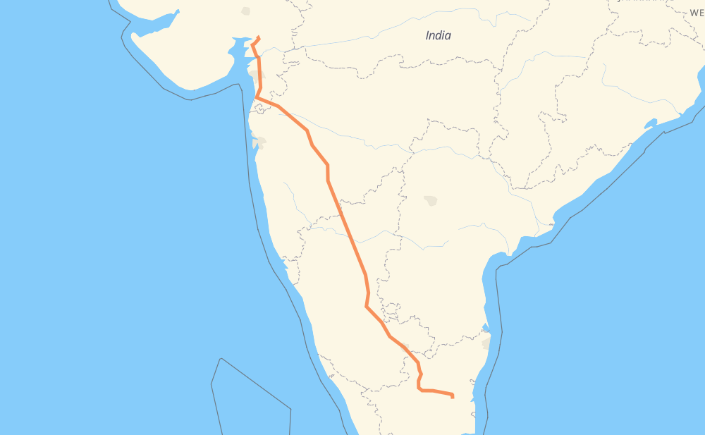
The distance from Tittakudi to Navapura is 1,031 miles by road including 12 miles on motorways. Road takes approximately 20 hours and 45 minutes and goes through Salem, Bengaluru, Tumakuru, Vijayapura, Ahmadnagar, Nashik and Valsad.
You can adjust fuel consumption and fuel price here.
How long is a car ride from Tittakudi to Navapura?
Driving time:
20 h 45 min
This time is calculated for driving at the maximum permitted speed, taking into account traffic rules restrictions.
270 mi with a maximum speed 56 mph = 4 h 48 min
777 mi with a maximum speed 50 mph = 15 h 38 min
4 mi with a maximum speed 37 mph = 7 min
6 mi with a maximum speed 31 mph = 10 min
The calculated driving time does not take into account intermediate stops and traffic jams.
How far is Tittakudi to Navapura by land?
The distance between Tittakudi and Navapura is 1,030.9 mi by road including 11.8 mi on motorways.
Precise satellite coordinates of highways were used for this calculation. The start and finish points are the centers of Tittakudi and Navapura respectively.
How far is Tittakudi to Navapura by plane?
The shortest distance (air line, as the crow flies) between Tittakudi and Navapura is 856.2 mi.
This distance is calculated using the Haversine formula as a great-circle distance between two points on the surface of a sphere. The start and finish points are the centers of Tittakudi and Navapura respectively. Actual distance between airports may be different.
How many hours is Tittakudi from Navapura by plane?
Boeing 737 airliner needs 1 h 43 min to cover the distance of 856 mi at a cruising speed of 497 mph.
Small plane "Cessna 172" needs 6 h 15 min to flight this distance at average speed of 136 mph.
This time is approximate and do not take into account takeoff and landing times, airport location and other real world factors.
How long is a helicopter ride from Tittakudi to Navapura?
Fast helicopter "Eurocopter AS350" or "Hughes OH-6 Cayuse" need 5 h 44 min to cover the distance of 856 mi at a cruising speed of 149 mph.
Popular "Robinson R44" needs 6 h 33 min to flight this distance at average speed of 130 mph.
This time is approximate and do not take into account takeoff and landing times, aerodrome location and other real world factors.
What city is halfway between Tittakudi and Navapura?
The halfway point between Tittakudi and Navapura is Bīraladinni.
The distance from Bīraladinni to Tittakudi is 515 mi and driving will take about 10 h 17 min. The road between Bīraladinni and Navapura has length 516 mi and will take approximately 10 h 27 min.
The other cities located close to halfway point:
Goḷasaṅgi is in 519 mi from Tittakudi and 512 mi from Navapura
Nidagundi is in 508 mi from Tittakudi and 523 mi from Navapura
Managoḷi is in 526 mi from Tittakudi and 505 mi from Navapura
Where is Tittakudi in relation to Navapura?
Tittakudi is located 856 mi south-east of Navapura.
Tittakudi has geographic coordinates: latitude 11.40218, longitude 79.12107.
Navapura has geographic coordinates: latitude 22.31284, longitude 72.96992.
Which highway goes from Tittakudi to Navapura?
The route from Tittakudi to Navapura follows NH48, NH50, NH561A, NH848, NH844.